
This circular and self-guided itinerary, is an entertaining and short walk along Vilagarcía. 11 essential well-signalled stops get to know an urban area where each corner, street or square are inviting to be discovered. The 14 explanatory panels containing information and pictures help us approach the most significant places of the city, understand its past and enjoy the present.
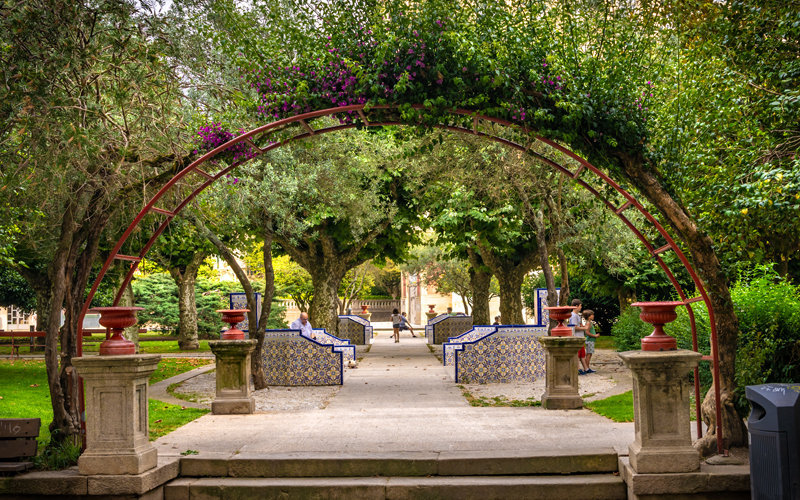
There is no better point to start the route but Ravella Square, the old “Campo de Cabritas” – the kid’s field- where the first development of the city was carried out to build the Town Hall designed by the mayor Francisco Ravella i Arenas. Opened in 1891, it is a Frech-style building. Opposite, there is a small garden with centenary platanaceas.
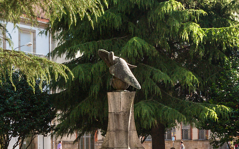
The second stop leads us to the Plaza de la Indenpendencia – independence – square, a place full of history, not only because it was the old market and the medieval pillory, but also because it takes its current name, Independencia, to honor the heroism of the people from Vilagarcía who, in 1808, were the first to rise up against the French invasion in Galicia. An allegorical sculpture recalls those events.
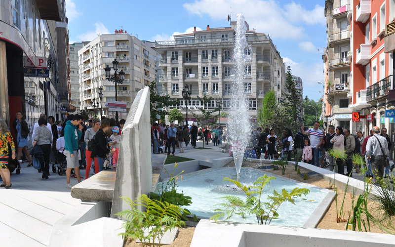
The Plaza de Galicia constitutes the core of the urban area. Originally a marshland, it became the square of the Clock, since it was the only clock in the city at that time. Later on, it was called the Sun square and today, it is the hub of the city.
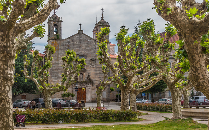
About one hundred metres from the previous square, is the Plaza de España square, which is today a pleasant garden of centenary platanaceaes set around a big fountain. In this square we can see the main church of the city of Baroque style, built in the mid-17th century and dedicated to Santa Eulalia, patron saint of the city.
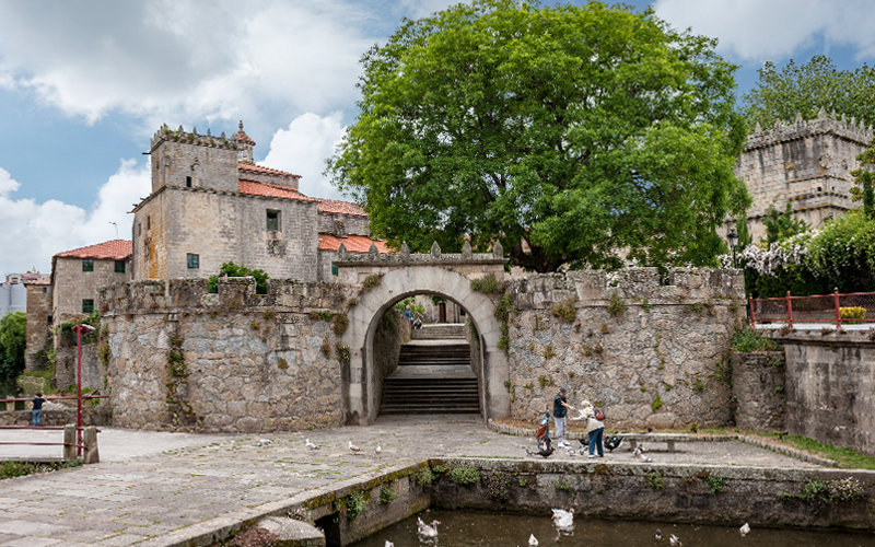
The Plaza de España connects through Arzobispo Andrade street with the historic-artistic site of Vistalegre, whose monumental buildings – pazo, church and convent- are excellent examples of the stately architecture of the 16th and 17th centuries.
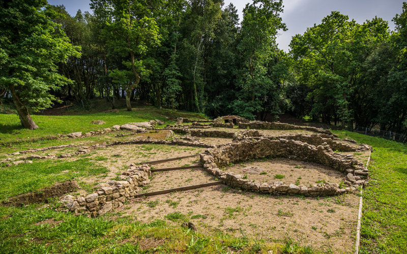
From Vistalegre, a weathering steel staircase leads to the Castro of Alobre. This ancient coastal settlement represents our origins, since it was here where celts settled down and then became romanized, it was the beginning of today’s Vilagarcía. The castro, in the process of becoming a museum to host the significant remains found, is one of the most important sites in the north-east of the Iberian peninsula.
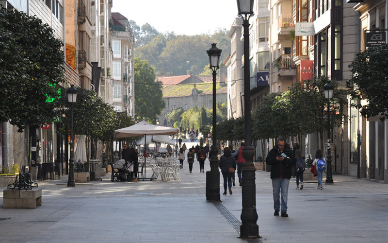
Walking down the castro of Alobre and Vistalegre, we get into Castelao street, one of the main arteries of the city, it is no wonder, there used to be 3 cinemas. Today, a bustling pedestrian street full of shops and terraces, it still mantains some significant buildings from the beginning of the 20th century.
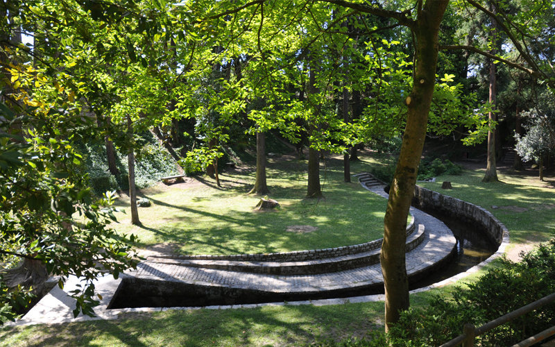
This garden with about 120,000 square metres, is located in the low part of the castro of Alobre. It was created in the 1930’s by the Duke of Terranova with species brough by ship from all over the world. The Lourizán Forest Research Centre has certified the existence of some unique species which give an idea of its botanical significance.
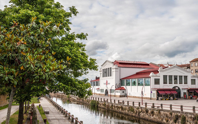
The local marketplace is very close to Vistalegre, and even after remodelation works, the building is still a good exemple of the important constructions built in the city at the beginning of the 20th century.
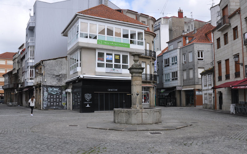
A few metres from the local market it is O Castro, originally a small fishing quarter. In the mid-15th century, García Caamaño, the founder of the city, convinced fishermen to build their own homes and he helped them with stone, timber, bread and wine. O Castro still maintains some of the old fishermen’s houses, especially in the Cristo street.
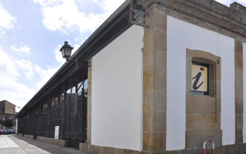
Or in Galician Praza de A Peixería – fish market- stands out for being the first big public building in Vilgarcía, built even before the Town Hall. Constructed between 1881 and 1883, it is a beautiful example of the cast-iron architecture of the late 19th century. Today it is a multipurpose centre with activities ranging from concerts and cultural events to local celebrations or grastronomy fairs.
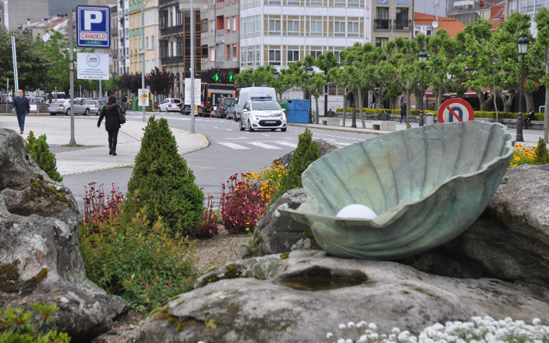
This avenue, which starts precisely in La Pescadería, is a clear example of the urban development carried out in Vilagarcía since it covers the main part of what the old Arealonga used to be, i.e. the strip of land stretching from O Castro, the original quarter of the city, up to O Ramal, also known as the “cabo da vila” or the end of the city.
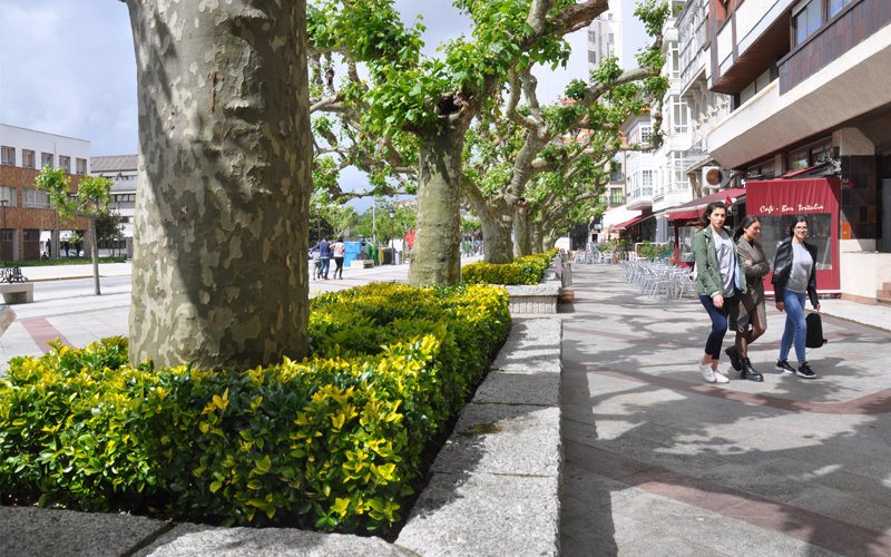
This area, also located in Avenida de la Marina, has always been one of the favourite places for people from Vilagarcía as a meeting point and as a strolling area since its creation in the mid-19th century. It stands out for its centenary platanaceae and its stone benches with wrought iron backs .
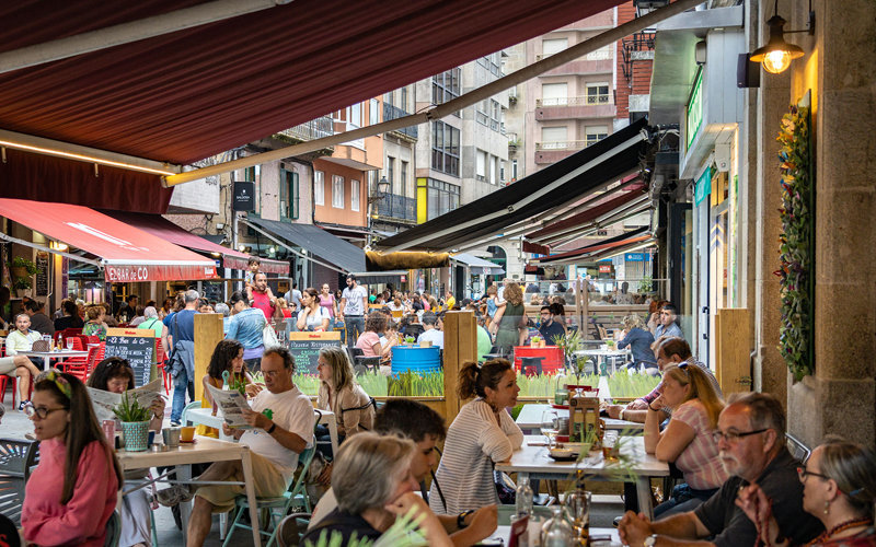
The route ends up in A Baldosa, a lively and bustling street that should not be missed as it was one of the first streets of the city to be pedestrianized and it is a popular zone of wines, tapas and open air terraces.