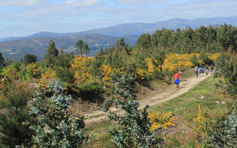
The scenic and natural richness of Vilagarcía deserves a closer look on foot. There are up to four projected routes, all of them by the Xiabre mountain, to the north of the city. Along more than 15 kms the trekker can enjoy an extraordinary beautiful landscape: the river, the ría, the sea and the valley with the Cortegada Island (national park) always at sight.
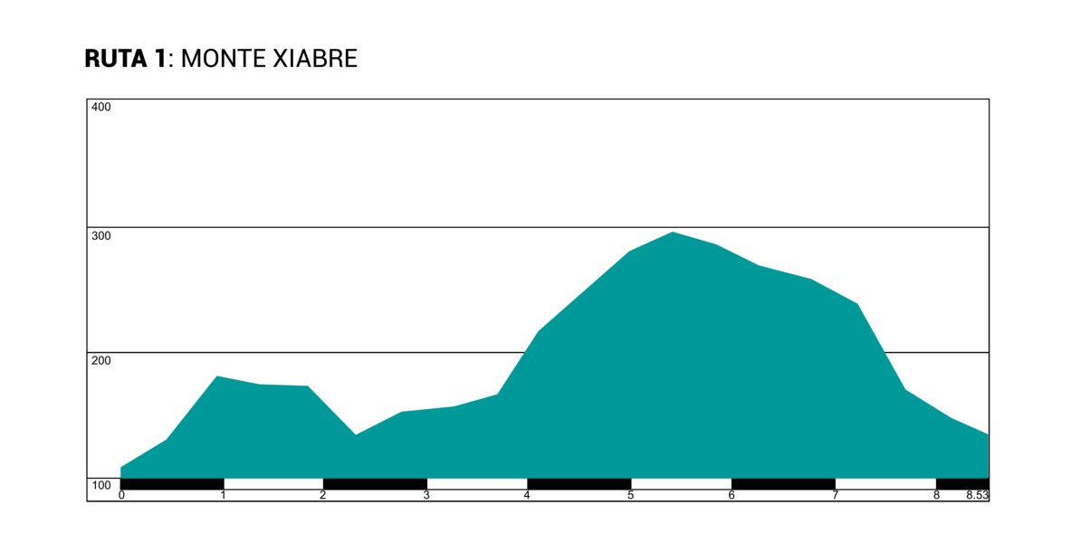
The Route starts near the Recycling centre, which can be easily found. There are three options: two circular routes, called the “Xiabre mountain” of 8.6 km long and “Xiabre Cross” of 3.5 km long, and a straight route called “Bamio’s viewpoint” of 1.5km long. A signpost system allows the trekker to combine all the alternatives depending on the interest and availability as well as the effort required to do them.
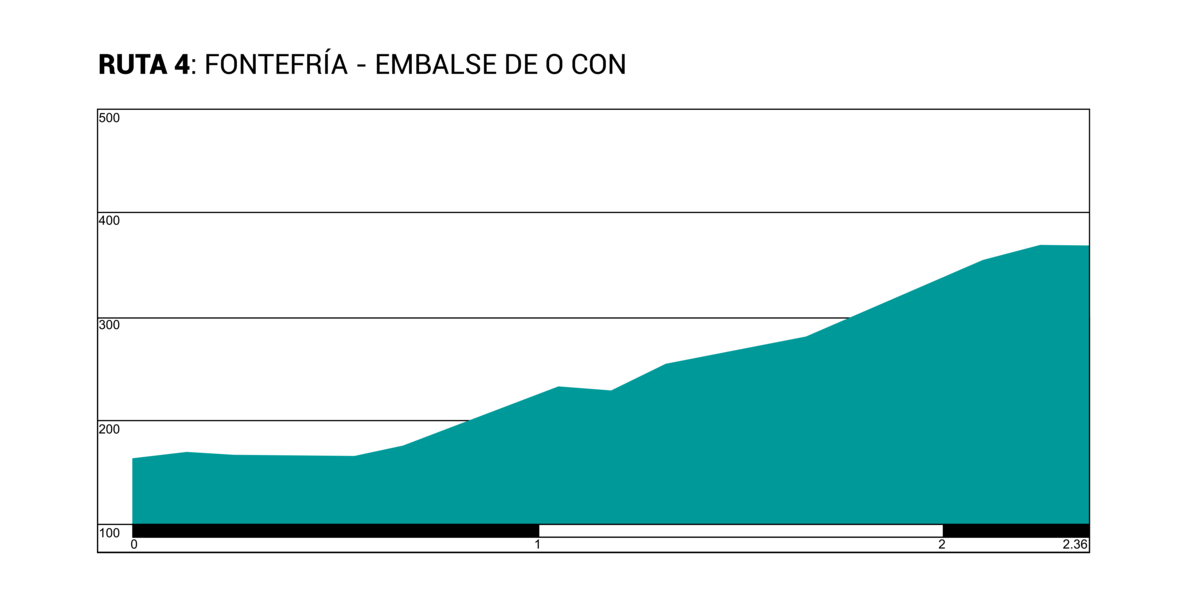
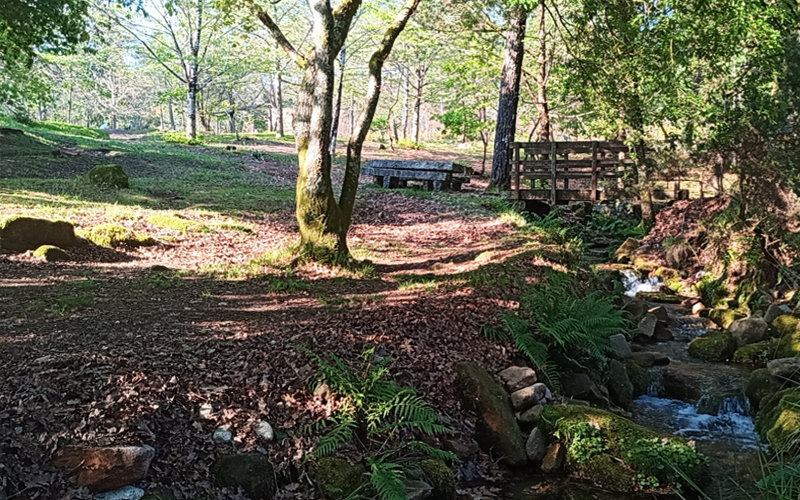
The fourth alternative starts in the recreational area of Fontefría and finishes off in the Con River reservoir. Compared to the other previously mentioned routes, this route stands out for the combination of water, there are several waterfalls, with the flora and fauna present along its nearly two kilometres. In Fonterfría, a path of about 1 km leads to the other three routes.
In fact, any of the four alternatives is extraordinary beautiful. Although the sea or the river cannot be seen in some of the stretches, the trekker can take advantage of the magnificent leafy areas and the groups of wild horses that contrast with the huge blades of the modern wind mills, in a pure atmosphere. That is, nature and human intervention face-to-face.
Type : Circular
Length: 8.6 kilometres.
Difficulty: High
Maximum height: 297metres
Minimum height: 109 metres
Ascent: 234 metres
Descent: 215 metres
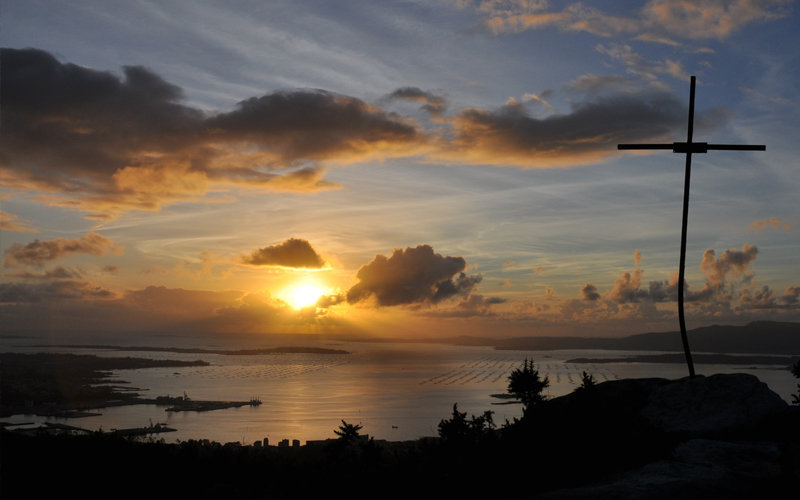
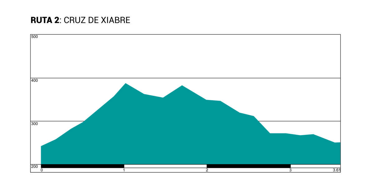
Type : Circular
Length: 3.6 kilometres.
Difficulty: Medium/High
Maximum height: 387 metres
Minimum height: 241 metres
Ascent: 177 metres
Descent: 168 metres
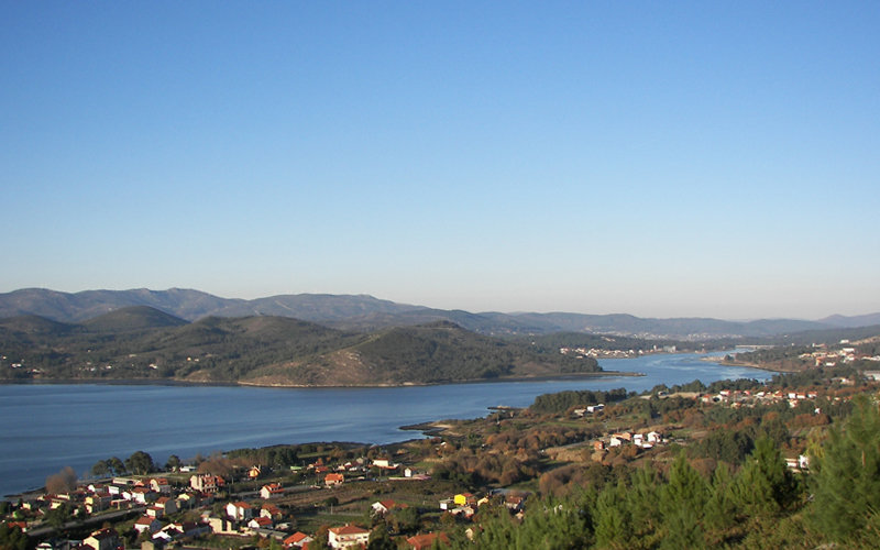
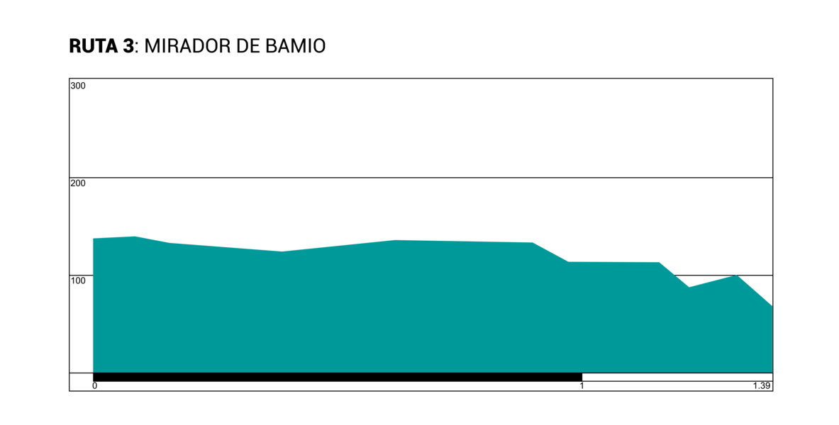
Type : Straight
Length: 1.4 kilometres.
Difficulty: Low
Maximum height: 139 metres
Minimum height: 69 metres
Ascent: 24 metres
Descent: 93 metres
Type : Straight
Length: 2.4 kilometres.
Difficulty: Medium
Maximum height: 372 metres
Minimum height: 166 metres
Ascent: 211 metres
Descent: 7 metres
